
Conservation Commission
New London, New Hampshire 03257
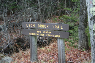
Trails
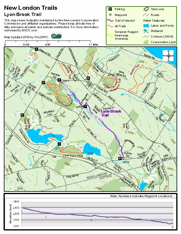
Lyon Brook Trail
| Trail Number: | 18 | Trail Length: | 2.34 Miles (one way) |
| Difficulty: | Moderate | Trailhead GPS: | |
| Trail Adopter: |
Trail Description
The Lyon Brook Trail follows Lyon Brook along a green strip through the center of town with several easy access points. The trail runs from Parkside Road (WP2) to S. Pleasant Street (WP3) then from the end of Frothingham Road through the Trussell Ridge Development to Brookside Drive and Rte. 11. Trail access is from the parking area on Parkside Road, S. Pleasant Street (park along the road), at the end of Frothingham Road, and on Brookside Drive near Route 11 (the trail crosses Brookside Drive twice before reaching its end. The entire trail is 2.34 miles long (one way). The Lyon Brook Trail also provides access via a connector to the Knights Hill Nature Park Trails just south of Parkside Road.
Note: The section of the Lyon Brook Trail that used to run from County Road (WP1) to Parkside Road (WP2) is now closed.
- See Map Below or
Return to Main Trails Page.
A copy of the map shown below can be downloaded here.
Trail Map
Photos
Lyon Brrok Trail at Brookside Drive
Photo by R. Anderson
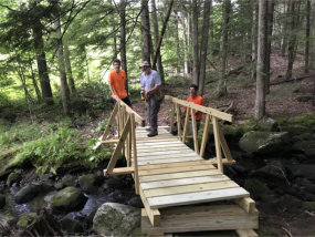
Lyon Brook Trail foot bridge
Photo by Mark vernon
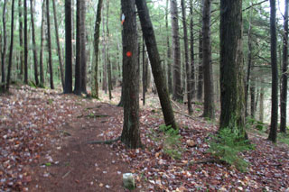
A Section of Lyon Brook Trail
Photo by R. Anderson